Year 4 Day 150
 I am going to make a proper map. Certainly of this continent; perhaps in time of this entire world.
I’ve known that the key was time since my first fumbling efforts. If I know a base time, and the exact height and direction of the sun, I can locate myself on a grid of longitude and latitude. The height and direction of the sun are no great problem, but time?
I think I have solved that problem. The computer has a mental interface, but I’m not very good at that kind of interfacing. I can, however handle the interfacing for something as simple as a time check, and give it back the exact position of the sun at my location. It can then calculate my position relative to its own. Each landmark I observe is then given a latitude and longitude based on the equator being at zero latitude, and the computer being at zero longitude.
For Science Fiction and Fantasy Saturday I’m posting excerpts from the (fictional) journal of a (fictional) human-like alien stranded in Africa some 125,000 years ago. Jarn’s story is part of the remote background of the universe in which I have written Homecoming and Tourist Trap, and in which I am currently writing three more books. A longer version of this excerpt is on my main blog; the entire Journal to date is on my author site.
Science Fiction and Fantasy Saturday is a blog ring of authors who post up to 10 sentences of their work on Saturday. To find the other authors’ snippets, click here.


We definitely take GPS navigation for granted… 🙂
I don’t –but then I remember how amazed I was by the first satellite photos.
Psionicist, deity, and now cartographer? Jarn’s talents know no end!
Not really. He’s intelligent, he has the equivalent of a massive library in the computer, and he has those esper talents. But he’s a babe in the woods when it comes to taking care of himself.
So it was Jarn who first created the first map. I get it. 🙂 Great snippet as usual.
Have a look at Dava Sobel’s Longitude.
I wonder how long it would take/it takes him to create the world map. Insightful snippet. 🙂
Depends on how much detail. We’re still mapping the Earth, as far as small details are concerned. But what he has in mind at this point is much more general, like the coast of Africa.
Personally I would have gone a bit stir crazy long before this, not having a map. Glad Jarn is getting around to it.
He’s done a certain amount of exploring, but his teleportation coordinates have been based on landmarks. Now he’s going to put them on a grid.
I’m with Cassandra: map would have been necessary long before now. His knack for combing the practical with the scientific is so neat to watch.
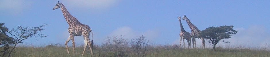
Maps are a very recent invention. Knowing the landmarks and how to use them came first, as was demonstrated to Jarn when Songbird was able to tell the hunters exactly how to find Meerkat after talking to her.
Let’s hope it works better than current GPS. Shouldn’t be that hard. 😛
I don’t think it’s the GPS so much as the road maps they use. It’s pretty good at telling you where you are, but it’s lousy at knowing where the roads are.